Because of the mountains open for recreational hiking abound within its borders, by 2016, Tanay was already a playground to mountain climbers and outdoor enthusiasts. Mt. Maynoba (also Maynuba, 622 MASL), adding to that list, opened its trails to hikers early that year; it was advertised as a great vantage point to an enthralling sea of clouds. This appealing aspect enticed the fast growing hiking community. Photos and narratives of Mt. Maynoba spread like wildfire over social media, thus visited by many since then.
To see for ourselves what the fuss is all about, we roared in the early darkness and reached Tanay while still in wee hours—the ideal time to arrive at the jump-off point for the glimpse of the coveted sea of clouds.
Mt. Cayabu to Mt. Maynoba
Brgy. Cayabu in Tanay administers the requirements prior to hiking and, being the hike’s jump-off point, provides facilities essential to hikers like paid washrooms, parking spaces and sari-sari stores. The Maynoba loop hike starts with hitting the trail for Mt. Cayabu, a steep hill considered as Maynoba’s subsidiary peak. Towards Cayabu is a fairly easy ascent—day hikers who intend to reach the viewpoint in Maynoba early enough to catch the sea of clouds usually begin the trek at dark and reach Cayabu’s forested peak while darkness still blankets the early morn.
 |
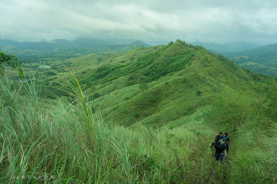
| Mt. Cayabu viewed from the trail of Mt. Maynoba |
 |
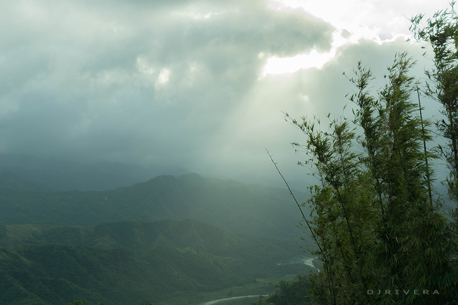
| Clear view, no sea of clouds appeared during a hike in January |
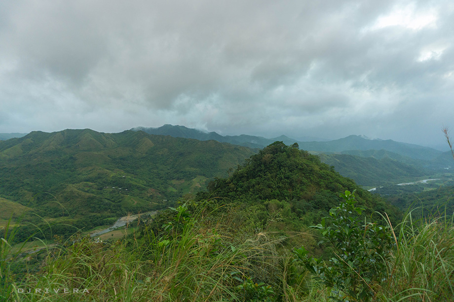
Mt. Maynoba’s sea of clouds is kind of seasonal. It has a high rate of appearing within February through June according to some experts. But Maynoba is not just about that ocean-like cloud formation though it is the mountain’s selling point. Maynoba lies in the foothills of the great Sierra Madre, thus the trail offers a calming vista of rolling hills and mountain ranges—a sight to behold, worthy for a pit stop to catch one’s breath.
 |
| Rolling hills seen from the trail |
At the summit if reached in time for the sunrise, one can relish a breathtaking backdrop as the sun’s rays illuminate the facets of mountains and hills in sight.
 |
| Sunrise while at the summit |
 |
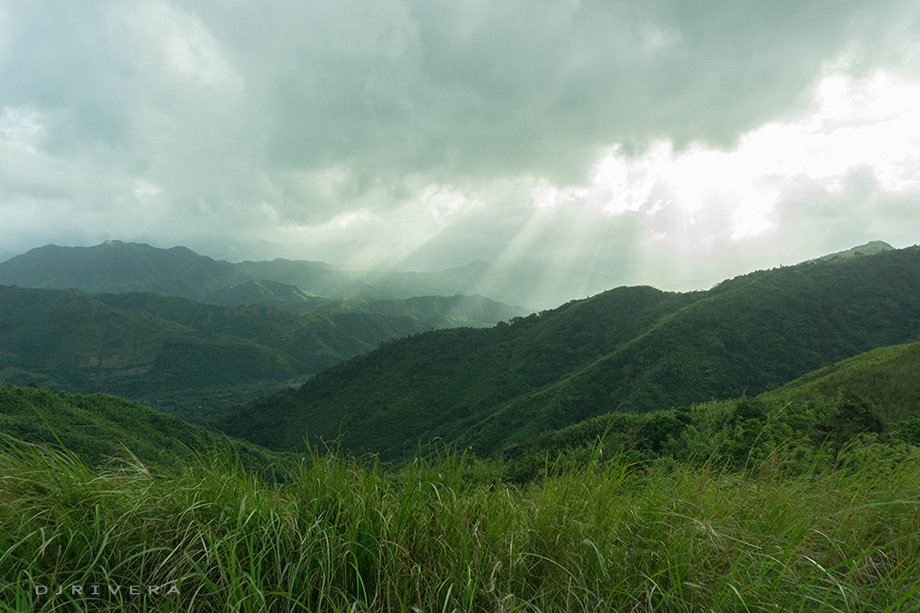
| Mountain range in sight |
 |
| Rolling hills seen from the summit |
 |
| Caio's tomb |
Within the summit's vicinity, there’s a tombstone shaped like a paw print that marks the grave of a golden retriever named Caio who died because of the summer heat shortly after reaching the summit with its owner sometime in 2016. This marker has become another sight to see; tour guides usually tell hikers the story behind it when at the summit.
On the Way Down
Descending from Maynoba entails trekking on boulders, getting one’s feet wet on a series of shallow streams and, if it rained hard, getting covered in mud. The traversing path back to the trail head passes by a river system that some eight waterfalls of varying sizes form part of. Some of these water cascades have swimming holes wide enough to take a cold, after-hike plunge.
 |
| Early morning view of the mountain ranges on the way down |
 |
| Nagtatagong Paraiso Falls |
 |
| One of the eight waterfalls with wide catch basin |
How to Get to Mt. Maynoba
Address: Brgy. Cayabu, Tanay, Rizal
Commute: Take a jeepney at Starmall EDSA Shaw (Mandaluyong) or in Cubao (Quezon City) bound for Cogeo Gate 2 in Antipolo. From Cogeo, take a jeepney bound for Sampaloc (Tanay) then alight at Batangasan Junction. Take a tricycle at the junction going to the trailhead in Brgy. Cayabu.
Contact(s):
- Tanay Tourism Office: (02) 655-1773 loc 212/213; (02) 736-1059; (+63) 998-9881590
References:
- Lasco, Gideon. (2017, January 17). Hiking matters #530: A cloudy Mt. Maynoba in December. Retrieved from http://www.pinoymountaineer.com/2017/01/hiking-matters-530-a-cloudy-mt-maynoba-in-december.html
- Juarez, Angel. (2018, August 6). Chasing the Eight Wonderfalls of Mount Maynoba. Retrieved from https://www.lakwatsero.com/spots/nature/chasing-the-wonderfalls-of-mount-maynoba/
- Alan, Reynald Jr. (2016, May 15). Caio (april 28, 2015- may 14, 2016) [Photo album]. Retrieved from https://www.facebook.com/reynald.alanjr/media_set?set=a.1326083987420552&type=3
- Municipality of Tanay. (n.d.). Tourism Office. Retrieved from http://www.tanay.gov.ph/directory/local-gov-t-offices/157-tourism-office